 Recognised by govt.of Telangana
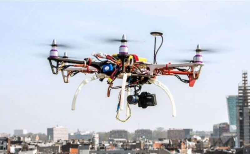
DRONE SURVEY TRAINING
Drone Survey Training
hyderabad
DRONE SURVEY TRAINING The use of drones within the survey industry is growing, they provide an efficient, cost effective and much safer way to collect extremely accurate data. But how can you adapt your business model to offer this service to your clients?
Global positioning has created greater interest in Geographical Information Systems (GIS). According to Drone Analyst, “GIS professionals provide a wide variety of land-related services like identifying property boundaries, subdividing land, and surveying construction sites for placement of buildings. They also produce topographic and hydrographic maps, volumetric calculations for stockpiles, and flood insurance maps, among other services.”
Global positioning has created greater interest in Geographical Information Systems (GIS). According to Drone Analyst, “GIS professionals provide a wide variety of land-related services like identifying property boundaries, subdividing land, and surveying construction sites for placement of buildings. They also produce topographic and hydrographic maps, volumetric calculations for stockpiles, and flood insurance maps, among other services.”