We Conduct WorkShops
This workshop provides enough working knowledge on survey Instruments which is widely in use across civil engineering and other allied industries.
Know More
 Recognised by govt.of Telangana
This workshop provides enough working knowledge on survey Instruments which is widely in use across civil engineering and other allied industries.
We Provide practical training to Engineers and Beginners as per the Industry requirements of Construction companies in India and Abroad. We directly prepare Engineers for the various positions
Explore CoursesWe offer career guidance for All students and professionals keeping in view their background, area of interest, capability, market conditions, etc
Geo Institute of Technologies is one of the most trusted names in Land Survey Training field today. It is needless to say that our institute has the latest infrastructure and experienced faculty members.
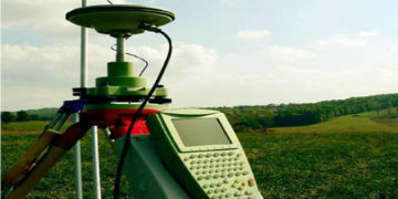
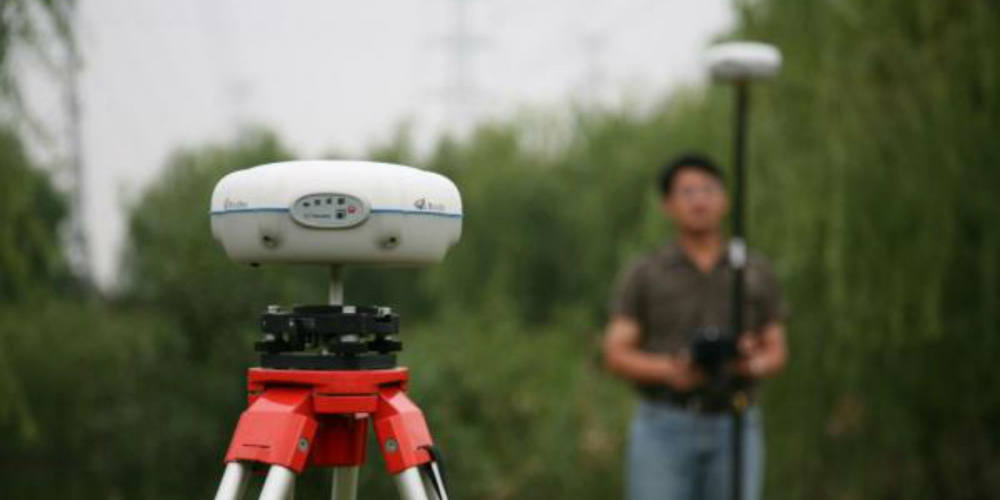
Differential Global Positioning System (DGPS) is an enhancement to Global Positioning System that provides improved location accuracy, from the 15-meter nominal GPS accuracy to about 10 cm in case of the best implementations.
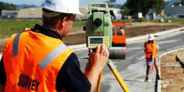
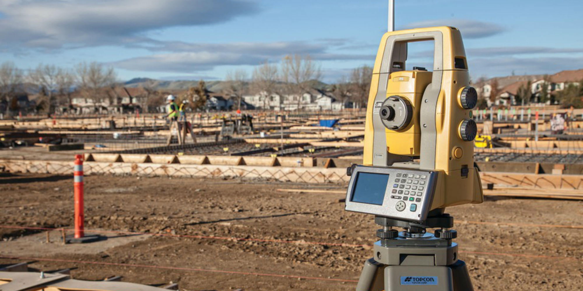
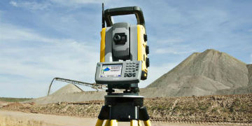
A theodolite is a precision instrument for measuring angles in the horizontal and vertical planes.Digital Theodolites are used mainly for surveying applications, and have been adapted for specialized purposes such as meteorology and rocket launch.
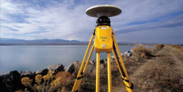
Global Positioning System provides improved location accuracy, from the 15-meter nominal GPS accuracy to about 10 cm in case of the best implementations. DGPS uses a network of fixed, ground-based reference stations to broadcast the difference between the positions indicated by the GPS satellite systems and the known fixed positions.

AutoCAD is a computer-aided design software program used in many industries, including architecture, machine engineering, construction and interior design. AutoCAD allows the user to create 2D and 3D drawings usi ng visualization and technical documentation. This software program increases productivity in manufacturing and design.
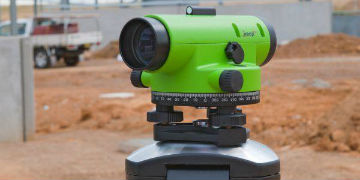
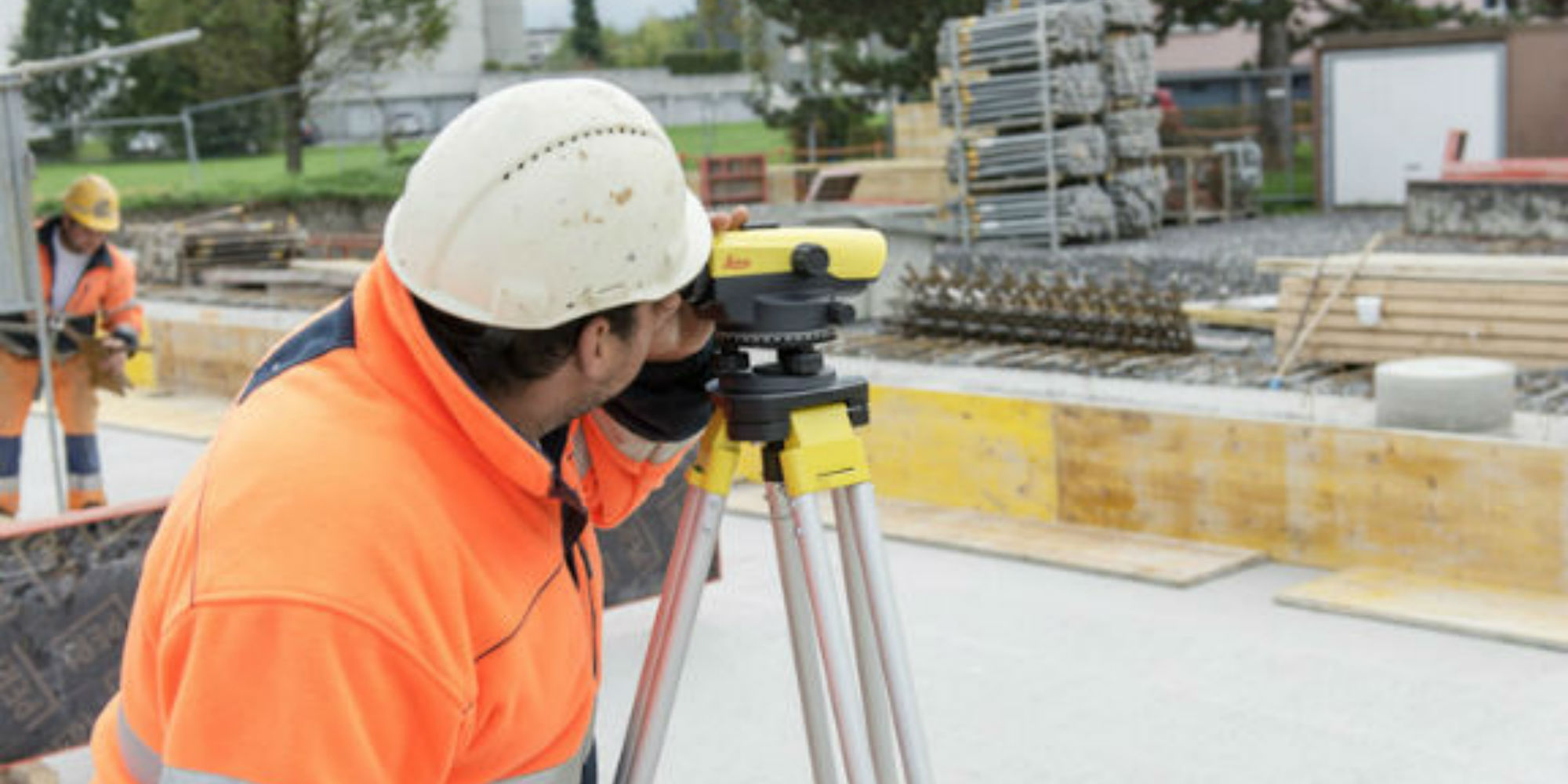
An Auto Level is a Professional Leveling Tool used by Contractors, Builders, Land Surveying Professionals, or the Engineer who demands accurate leveling every time. AutoLevels set up fast, are easy to use, and save time and money on every job. We have a large selection of Automatic Levels for your choice of options like magnification
Geo Institute of Technologies offers advanced level training at your convenience.
Get specialized training with 7 days crash course. Train at your site at your time.
Best institute for land survey in Hyderabad. i am trainee here. Experienced and friendly supported faculties. suggest to others..!
Excellent Institute for Advance Land Survey.Well experiences faculty.They provide real time live projects. I Highly recommend to others.
It is professional training institute. Do all the best guide in institute. I am very happy learning in geo institute. (Thanks all staff.)
I am a student of Geo institute of Technology I learned a lot here good faculty and supporting staff. The also give career suggestions. I highly recommend this institute